
Create a Discover Mobile Project
Activity Steps
- Ensure the on the Map scene.
- On the Mobile ribbon tab, in the Setup group, click Mobile Manager.
The Discover Mobile Project Manger panel displays.
- Click New.
The New Project Setup window displays.
- Name the project.
- Give the project a Description.
- If Include Drillhole Project Data is checked all the drillhole data is displayed in the selection box below.
- Select the Spatial, Non-Spatial or Drillhole data tables for the mobile project.
- If you would like to add other data tables that were not in project, click the Add Data button.
- Click Next.
The Table Validation window displays.
- If you want to make specific tables Read Only check the read-only box for tables.
Note: Making a table Read Only ensures data cannot be edited in the table and only viewed. It has the benefit of making the Check In process quicker as the Check In only syncs back editable files.
- If you want to edit the tables' structure, click the Validation icon
 . See
. SeeThe Table Validation window displays.
Note: Table validations can be made either during the project creation by tapping the validation icon. See Validate Data for a Mobile Project.
- To apply a map style/legend to a table click the Map Style icon
 for the table.
The Apply Map Style window displays.
- Complete the following fields.
- Table—Select the table you want to apply the map style to.
- Field—Select the field the map style is applied to.
- Legend—Select the legend that is used for the map style.
- Click OK.
- Click Next.
- To clip the region for the mobile project select the Clipping Method from methods:
- Map Window Bounds
- Define Region
- Manual
Note: When taking data into the field, we clip the area of interest. We do not take the whole dataset into the field, because it strains the mobile device. The three clipping methods are:- Map Window Bounds—Takes the map window bounds of the active map
- Define Region—You can draw a rectangle on a map after clicking the draw icon
- Manual— Entering coordinates manually of the top-left and bottom-right of the area you want
- Click OK.
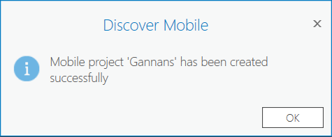
The message below should display:
Note: The data is saved into a Geopackage which is saved in a <ArcGIS Pro Project>/MobileProjects folder. The mobile project can only be accessed from within the ArcGIS Pro project that it was created in. Many different mobile projects can be created from the same ArcGIS Pro Project.