
Discover for ArcGIS Pro 2.2 Update 4 (June 2025)
Scaniverse Import
In this release a there is a new option to give you more control over elevation values when importing Scaniverse data, making it easier to align your scans with your local scenes.
When importing Scaniverse files, you can now choose to override the elevation (Z value) specified in the Scaniverse header and instead use the elevation from your output local scene’s ground layer. This new checkbox option ensures that your imported scans sit correctly in your project’s vertical reference, saving you time on manual adjustments.
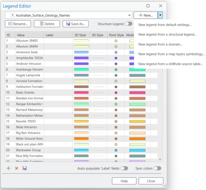
Legend Editor
We’ve made working with the Legend Editor even smoother by improving how related dialogs open and align on your screen.
This enhancement applies to the following dialogs: New, New legend from default settings, New legend from a structural legend, New legend from a domain, New legend from a map layers symbology, and New legend from a drillhole source table. By centring these windows, you’ll always have a clear, organised view, making it easier to create and manage your legends without losing focus or having to drag windows around.
Section to 3D Image
Previously, when using the Section to 3D Image tool, you could only work with one section at a time, which meant repeating the process for each additional section. Now, you can select multiple sections in a single action, similar to how you work with other section tools in the application.