Draw a Polygon
A polygon is an enclosed shape that you can use to define an area, such as for drilling.
If an area has been defined in another application, you can import the polygon. See Load an External Drawing File.
When you draw a polygon, you can use the object snap settings on the Grid and Snap Toolbar to select points that are at the same relative level (RL) as a displayed topography. However, this may mean that the polygon does not have a consistent RL. If you do not snap to points on the topography, DataBlast creates the polygon at an RL of zero. With either method, you can then flatten the polygon to the required RL. See Flatten an Object to an RL.
Activity Steps
- Select the Design module.
- Open a mine block, set of design lines, surface, stratum or drill pattern in maintenance mode.
- On the CAD Tools Ribbon Menu, in the Commands group, click Polyline.
- Click the location of the first point.
- Click subsequent points.
- Press C to select the Close command and press Enter to close the polygon.
- Click Save Changes.
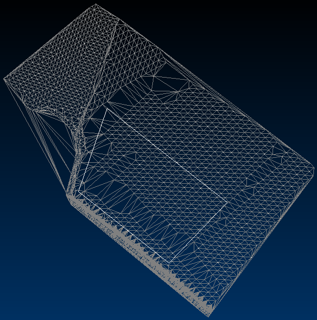
The following drawing shows a polygon drawn over a triangulated surface topography without snapping to any points of that topography.


