
Configure Reference Objects
This is the fourth of a series of activities relating to field map reporting configuration.
Warning: This topic is intended for Studio Mapper system administrators. You should not attempt any of the following procedures unless you are confident to do so, and are familiar with the concepts described.
Optionally, you can filter the contents of a report projection to contain specific data types. For example, you may just want to display geological feature and channel sample data, but not images, sketches comments and so on.
You control the data that appears in a map plot projection, which is subsequently stored in the plot template, using 'dummy' reference data files. These files, stored in the Templates sub-folder of the active database, are used to construct a plot template containing filtered projections.
Studio Mapper lets you configure each projection plot item in a plot so that it either contains:
-
All available data for the specified map aspect (for example, the left sidewall), with the image displayed first and all other map data overlaid. If data exists for a map face, it is displayed, or;
-
Specific map type data , e.g. picture and channel samples only, displayed according to the drawing order of object overlays within the projection.
If you intend to display all possible map data in each plot projection, you can skip this section as, with no reference object overlays defined, all map data will be drawn into the target projection.
Warning: updating the system configuration file will affect all Studio Mapper projects with which it is associated. Changes should only be made if you are familiar with the XML format, and changes should be tested in an appropriate environment before rolling out to a live system.
To create projection reference objects to filter report projection contents:
-
Decide which map data types will appear in your plot projections (and subsequent reports).
-
Navigate to your local database's Templates sub-folder.
-
In the Templates folder, create a Datamine table for each data type you wish to appear in an output report. If no tables are created, all available data is displayed. If one or more tables exist in the Templates folder, only data of that type is displayed for any output report for the connected database.
Note: It is the presence of the table, with a particular name, that is important. The table contents aren't relevant, and the table can even be empty.
A strict naming convention must be followed for each file you create:
-
Vertical/Stratigraphic Sections: map_stratsections_[name of object] where the name of the object matches the one selected in the drop-down list on the Vertical Sections panel e.g. "map_stratsections_strat1.dm":
-
Channel Sample Areas: map_areas.dm
-
Channel Samples: map_channelsamples.dm
-
Comments: map_comments.dm
-
Georeferencing plane: map_georeference.dm
-
Face photos or other images: map_pictures.dm
-
Drive profiles: map_profiles.dm
-
Sketches: map_sketches.dm
-
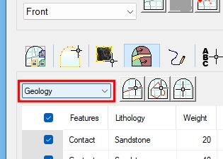
Geological features: map_features_[name of object], where the name of the features object matches the one selected in the drop-down list on the Features panel e.g. "map_features_Geology.dm":
Next, see Add Report Projections.